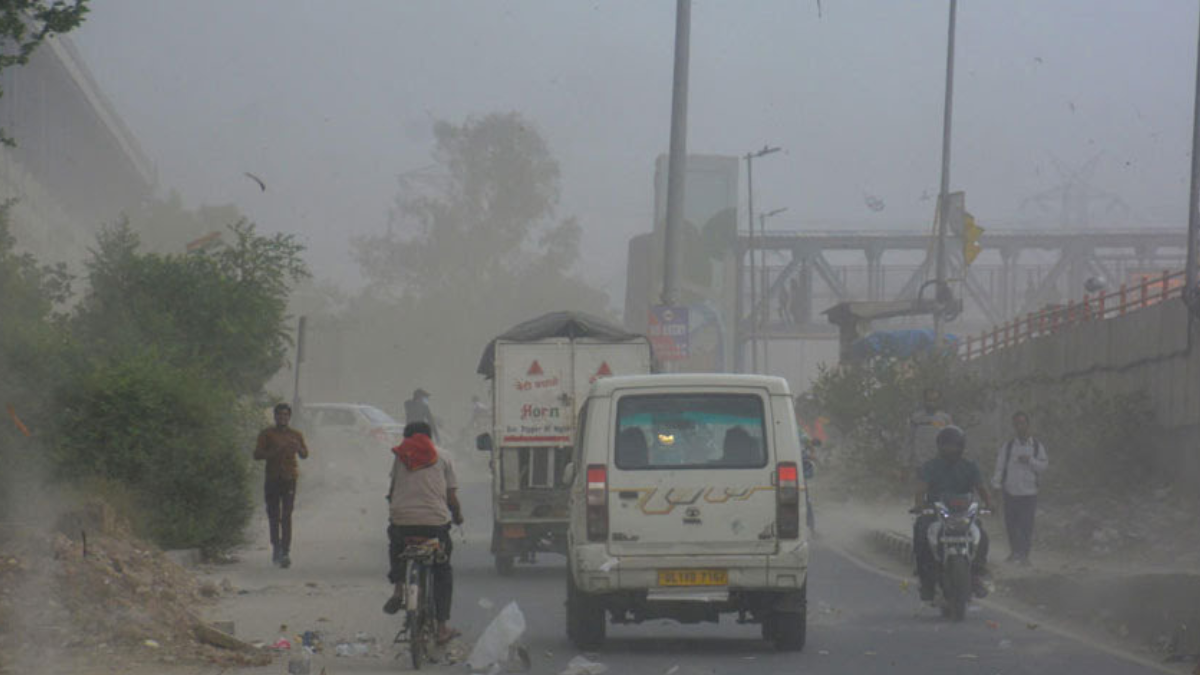
A severe cyclonic storm is forming over the Bay of Bengal and is expected to make landfall between Odisha and Bengal later this week. Named Cyclone Dana by Qatar, the storm is intensifying due to favorable sea-surface temperatures and wind patterns.
The India Meteorological Department (IMD) reported that the storm, currently a well-marked low-pressure area, is gaining momentum and is projected to develop into a cyclonic storm by October 23. By the morning of October 24, it is expected to escalate into a severe cyclonic storm.
According to forecasts, Cyclone Dana is expected to hit between Puri, Odisha, and Sagar Island, Bengal, between the night of October 24 and the early hours of October 25. At landfall, winds could reach speeds of up to 120 kmph, with heavy rainfall anticipated across south Bengal, including Kolkata.
A Met bulletin released on Monday detailed the progression of the storm: “It is very likely to move northwestwards and cross the Odisha-West Bengal coasts as a severe cyclonic storm with wind speeds of 100-110 kmph, gusting to 120 kmph.”
Coastal areas are likely to experience rainfall starting October 23, with the heaviest downpours expected on October 24 and 25. The IMD is closely monitoring the system, and the expected area of landfall will be refined as the storm approaches the coast.Cyclone Remal, which impacted Bengal in May, serves as a recent reminder of the region’s vulnerability to such powerful weather events.
